


9,4 km | 27 km-effort


Utilisateur


Application GPS de randonnée GRATUITE
 SityTrail
IGN / Instituts géographiques
SityTrail World
Le monde est à vous
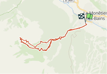
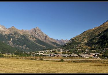
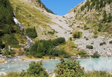
Randonnée Ski de randonnée de 9,9 km à découvrir à Provence-Alpes-Côte d'Azur, Hautes-Alpes, Le Monêtier-les-Bains. Cette randonnée est proposée par loicthev.
ski de rando
Tête de Sainte-Margerite
Départ Le Monêtier les Bains
13/02/2024
Alexandre

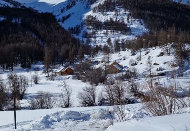
Ski de randonnée

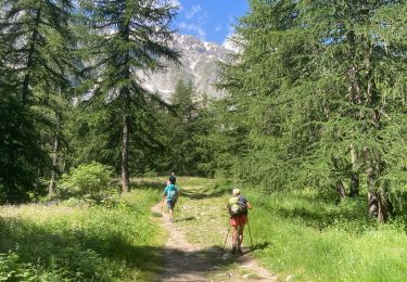
Marche

Marche

Marche
Marche nordique
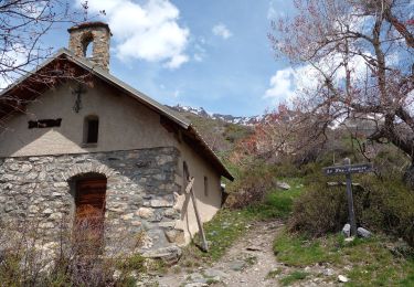
Marche
Marche
Marche
Marche